Vijayanagar Empire: Geographical Extent and Boundaries - UPSC History
What is Vijayanagar Empire: Geographical Extent and Boundaries in UPSC History?
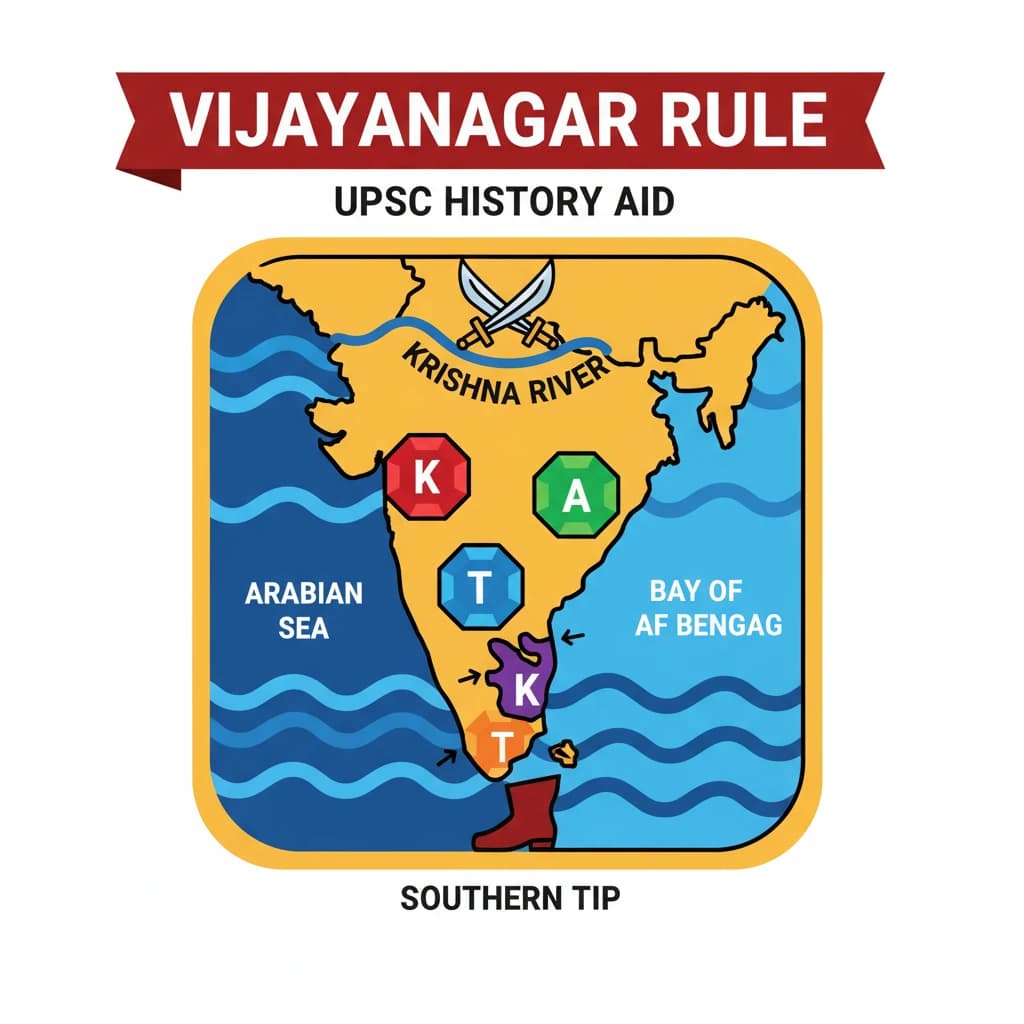
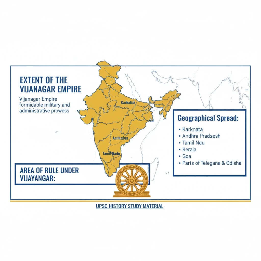
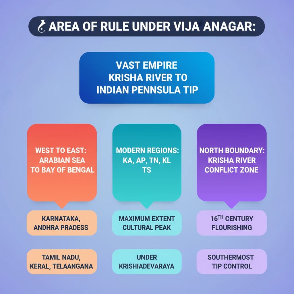
Vijayanagar Empire: Geographical Extent and Boundaries is a key topic under History for UPSC Civil Services Examination. Key points include: The Vijayanagar Empire covered a vast area from the Krishna River in the north to the southernmost tip of the Indian Peninsula.. Its rule extended from the Arabian Sea on the west to the Bay of Bengal on the east.. The empire encompassed significant parts of modern Karnataka, Andhra Pradesh, Tamil Nadu, Kerala, and Telangana.. Understanding this topic is essential for both UPSC Prelims and Mains preparation.
Why is Vijayanagar Empire: Geographical Extent and Boundaries important for UPSC exam?
Vijayanagar Empire: Geographical Extent and Boundaries is a Medium-level topic in UPSC History. It is tested in both Prelims (factual MCQs) and Mains (analytical answer writing). Previous year UPSC questions have frequently covered aspects of Vijayanagar Empire: Geographical Extent and Boundaries, making it essential for comprehensive IAS preparation.
How to prepare Vijayanagar Empire: Geographical Extent and Boundaries for UPSC?
To prepare Vijayanagar Empire: Geographical Extent and Boundaries for UPSC: (1) Study the comprehensive notes covering all key concepts on Vaidra. (2) Practice previous year questions on this topic. (3) Connect it with current affairs using daily updates. (4) Revise using key takeaways and mind maps available for History. (5) Write practice answers linking Vijayanagar Empire: Geographical Extent and Boundaries to related GS Paper topics.
Key takeaways of Vijayanagar Empire: Geographical Extent and Boundaries for UPSC
- The Vijayanagar Empire covered a vast area from the Krishna River in the north to the southernmost tip of the Indian Peninsula.
- Its rule extended from the Arabian Sea on the west to the Bay of Bengal on the east.
- The empire encompassed significant parts of modern Karnataka, Andhra Pradesh, Tamil Nadu, Kerala, and Telangana.
- The Krishna River served as a crucial northern boundary and a frequent zone of conflict.
- The empire reached its maximum territorial extent and cultural flourishing under Krishnadevaraya in the 16th century.
Vijayanagar Empire: Geographical Extent and Boundaries
📖 Introduction
💡 Key Takeaways
- •The Vijayanagar Empire covered a vast area from the Krishna River in the north to the southernmost tip of the Indian Peninsula.
- •Its rule extended from the Arabian Sea on the west to the Bay of Bengal on the east.
- •The empire encompassed significant parts of modern Karnataka, Andhra Pradesh, Tamil Nadu, Kerala, and Telangana.
- •The Krishna River served as a crucial northern boundary and a frequent zone of conflict.
- •The empire reached its maximum territorial extent and cultural flourishing under Krishnadevaraya in the 16th century.
🧠 Memory Techniques