Ancient Trade Routes that Shaped Civilisations
Long before modern highways and shipping lanes, a series of overland and maritime corridors linked the Indian sub‑continent with Central Asia, the Middle East and Europe. These routes moved not only commodities such as silk, tea, spices and incense, but also ideas, religions and technologies, leaving a lasting imprint on world history and on the UPSC syllabus.
Key Developments
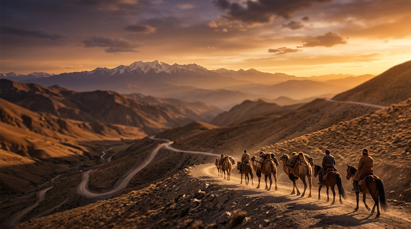
- Silk Road – Originated under the Han dynasty in the 2nd century BCE. Connected Chang’an with Rome, passing through Central Asian hubs like Samarkand and Bukhara, and Indian nodes such as Taxila and Peshawar. Peaked under the Mongol Empire, and declined after 15th‑century sea routes emerged.
- Tea Horse Road – A mountainous network that began in southwest China (Dali, Lijiang) and reached Lhasa, then branched into India, Nepal and Bangladesh. The route facilitated the exchange of tea for horses, a critical military resource for China. Its origin dates to the Tang dynasty (618‑907 CE) and is documented by Buddhist monk Yijing.
- Grand Trunk Road – Built by Sher Shah Suri as the Shahi Road, later renamed by the British. Extends over 2,500 km from Bengal to Peshawar, and today runs from Chittagong (Bangladesh) to Kabul (Afghanistan). Recognised by UNESCO as a heritage corridor.
- Incense (Caravan) Route – Originated in ancient Yemen, transporting frankincense and myrrh from the Arabian Peninsula to the Mediterranean. Developed from the 2nd millennium BCE to the 6th century CE, it fostered early urbanisation in South Arabia.
- Spice Route – Linked the pepper‑growing Western Ghats of Kerala with ports on the Malabar Coast. At its height, the port of Muziris (now in Kerala) attracted Roman, Arab and Chinese merchants, making pepper “the king of spices”.
Important Facts
• The Silk Road remained active for roughly 15 centuries, with its longest stretch traversing deserts, high‑altitude passes (e.g., Zoji La, Baralacha La) and river valleys.
• The Tea Horse Road reached elevations of up to 10,000 feet and required porters to carry loads of up to 150 kg.
• The Grand Trunk Road continues to serve as a major arterial highway, supporting trade and strategic mobility across four nations.
Exam Relevance
These routes illustrate the interconnectedness of ancient economies, the diffusion of religions (Buddhism, Islam), and the diffusion of technology (paper, gunpowder). They are frequently asked in GS 1 (Ancient & Medieval History) and GS 2 (Geography of trade corridors). Understanding the rise and decline of these routes helps answer questions on the impact of geography on trade, the role of empires in fostering connectivity, and the legacy of cultural exchange that shapes modern Indian society.
Way Forward for Aspirants
• Memorise the key termini and major commodities of each route.
• Link each route to its governing empire (e.g., Han dynasty → Silk Road; Tang dynasty → Tea Horse Road; Sher Shah Suri → Grand Trunk Road).
• Practice map‑based questions to visualise the geographic spread.
• Relate the historical trade patterns to contemporary initiatives such as the International North‑South Transport Corridor and India’s “Act East” policy, drawing parallels between ancient and modern connectivity.